


What's New?
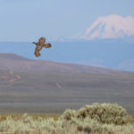
 New analysis highlights conservation challenges and opportunities on Western public lands
Recently published science applies remote-sensing tools to BLM-managed rangelands and provides a record of how the vegetation across this area has changed over the past 30 years.
 Publication Alert: Research provides first-ever analysis of vegetation trends on BLM lands across West
Research using remote sensing technology details vegetation trends on western BLM lands at multiple spatial scales for first time ever.
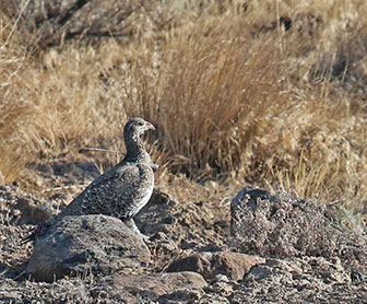
 Latest sage grouse “Scorecard” Highlights NRCS Investments and Outcomes
Learn about NRCS investments and conservation outcomes from the latest SGI Scorecard.


